Climbed Mount Fuji
I successfully climbed Mount Fuji for the first time.
Until now, my highest mountain climbing experience was Mount Takao at about 600m elevation, so this was suddenly jumping to the 3000m class. However, since we started from the 5th station, it was actually about 1400m of climbing.
I chose the Yoshida route, which is the most beginner-friendly climbing route.
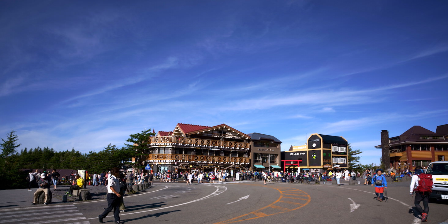
The 5th station has several shops and facilities lined up.
The scenery is already beautiful enough at this point. By the way, according to the taxi driver, the view from the 5th station on the opposite side of the Yoshida route is the most spectacular.
Apparently, with a mountain like Fuji, higher doesn’t necessarily mean more beautiful.
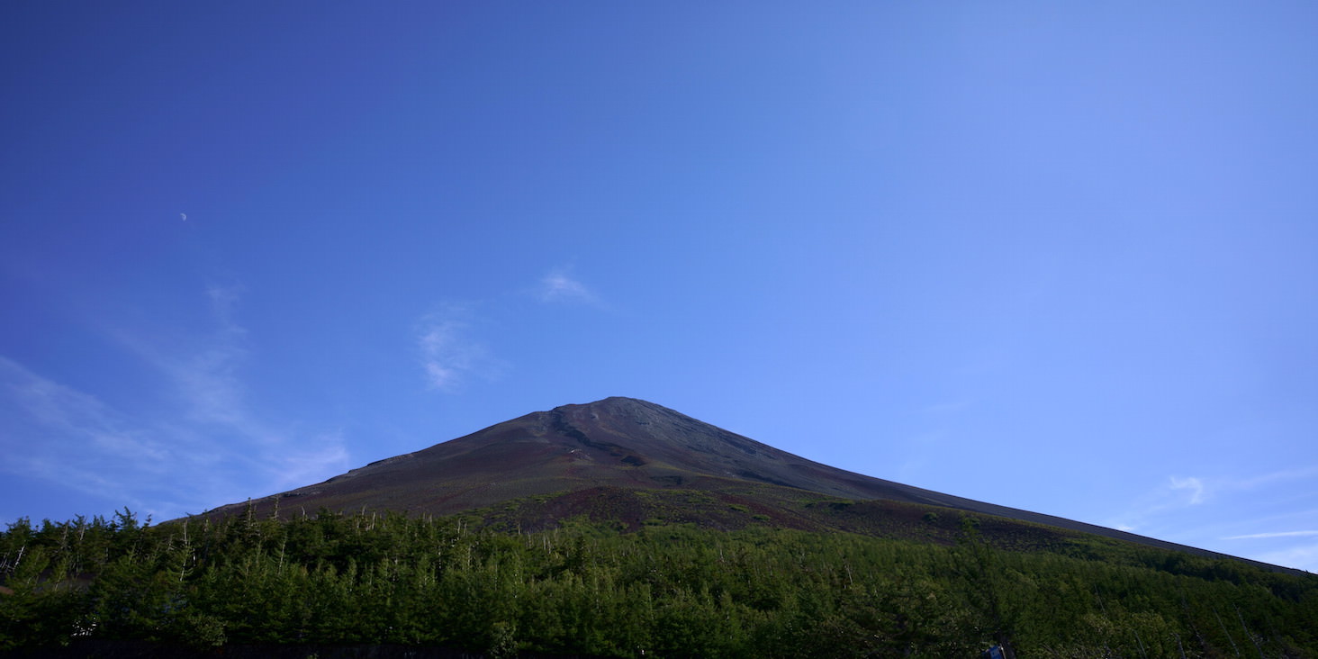
The summit of Mount Fuji. Since it’s midsummer, there’s no snow cap, and it looks like a rocky mountain without trees.
It’s interesting to see the tree line where trees stop growing so clearly visible.
So, let’s begin the climb. The Fuji Subaru Line 5th Station is at 2300m elevation, so we’ll be climbing from here to 3766m.
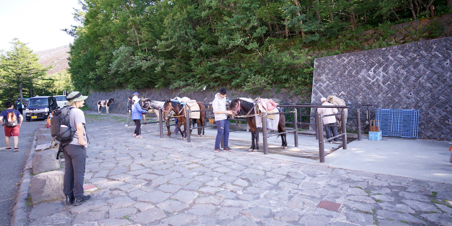
There were horses tethered just before entering the climbing route.
Apparently, in the old days, people often climbed Mount Fuji on horseback, and even now it’s possible to ride up to the 7th station.
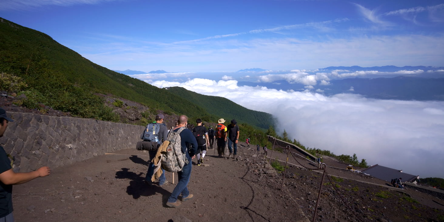
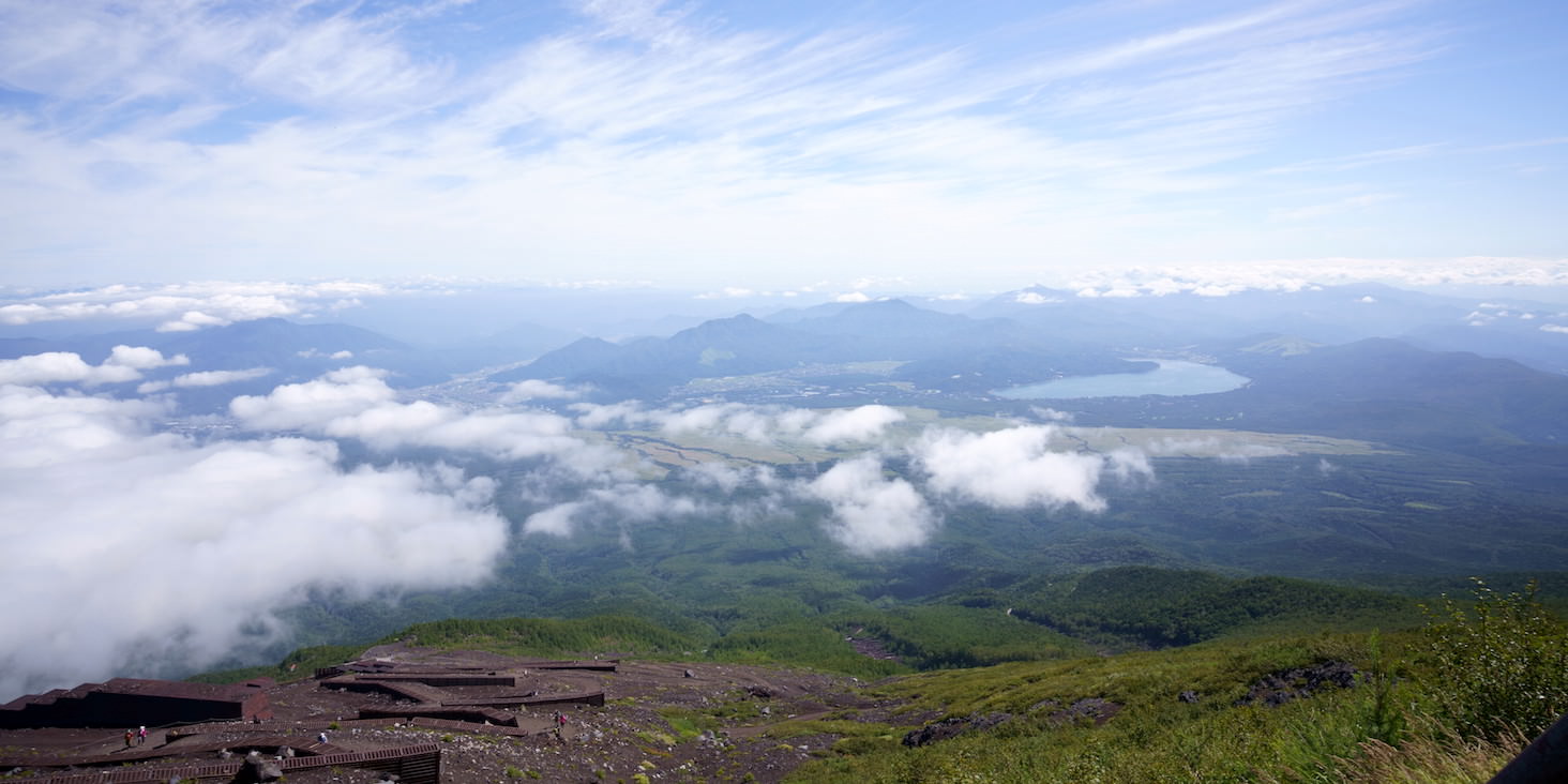
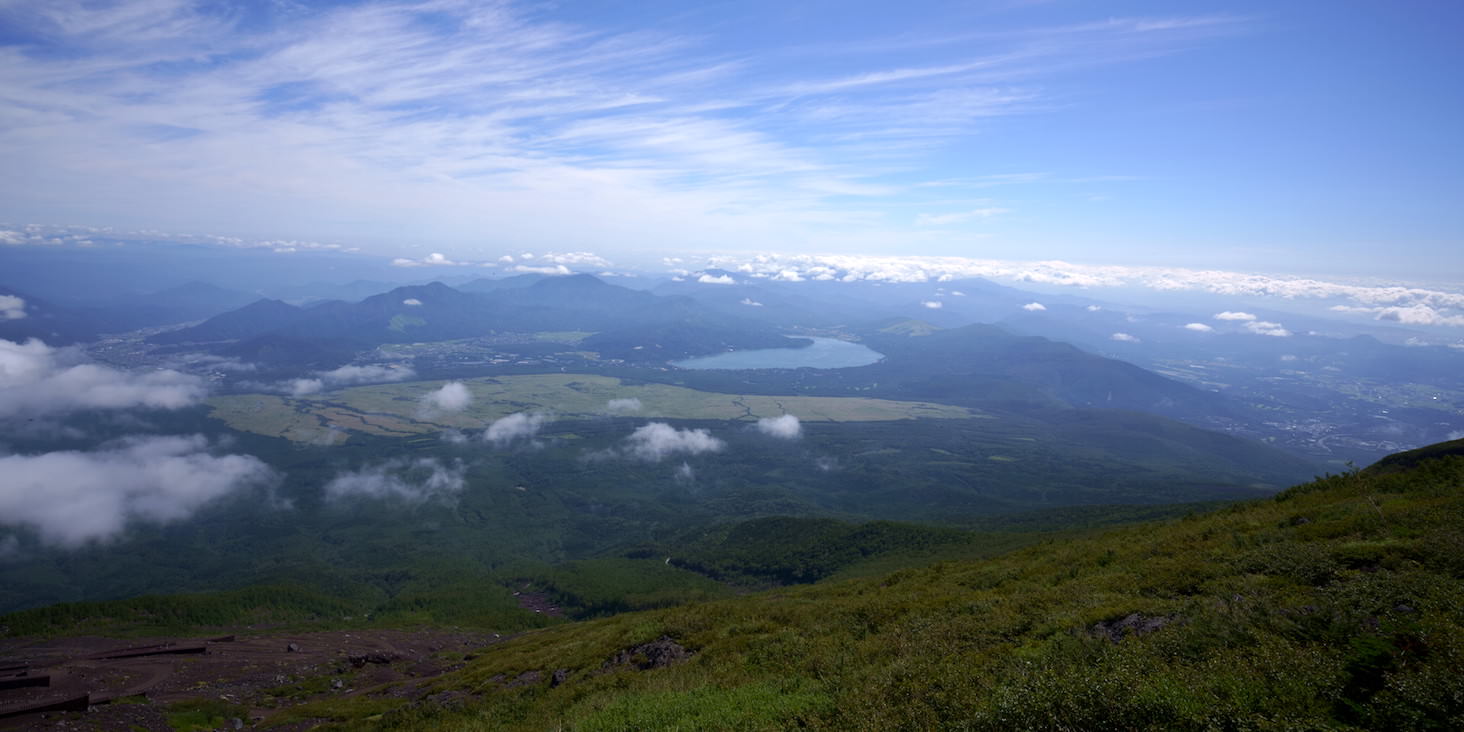
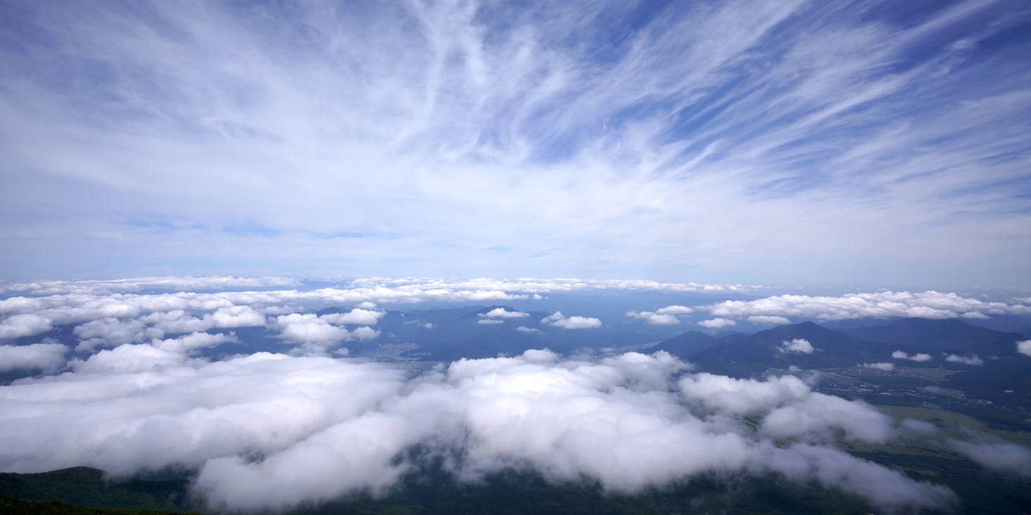
The view at this point. It’s my first time seeing clouds below me outside of an airplane.
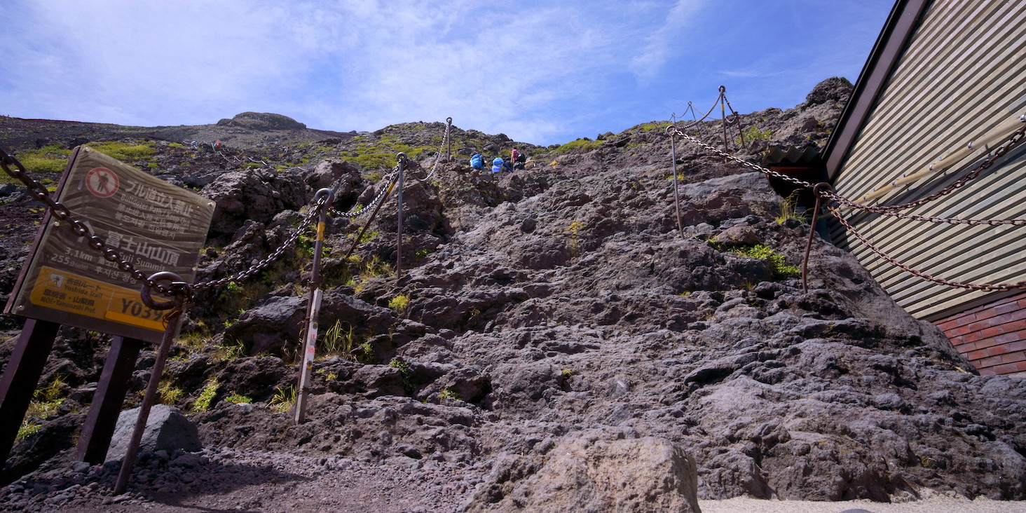
The first challenging rocky area. The rocks aren’t slippery, but you need to be careful because there are many people.
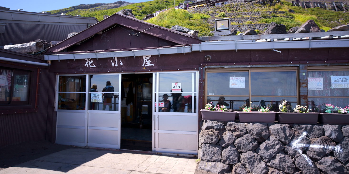
Arrived at “Hanagoya,” the first mountain hut. Elevation 2700m.
Since we just started climbing, the 400m went up fairly easily, but according to the person I climbed with, it’s important to climb slowly at the beginning.
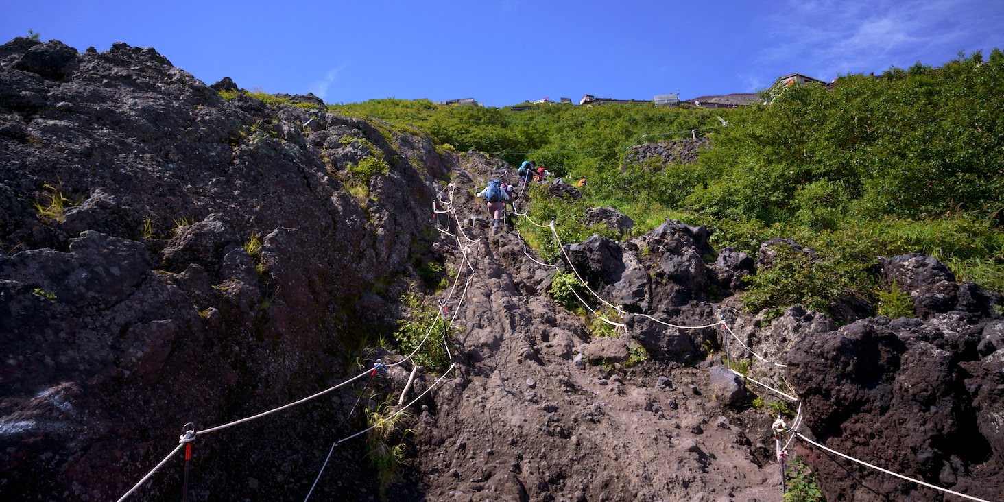
Rocky area. It’s narrow so it’s hard to rest, but since it’s right after Hanagoya, I don’t think we’re that tired yet.
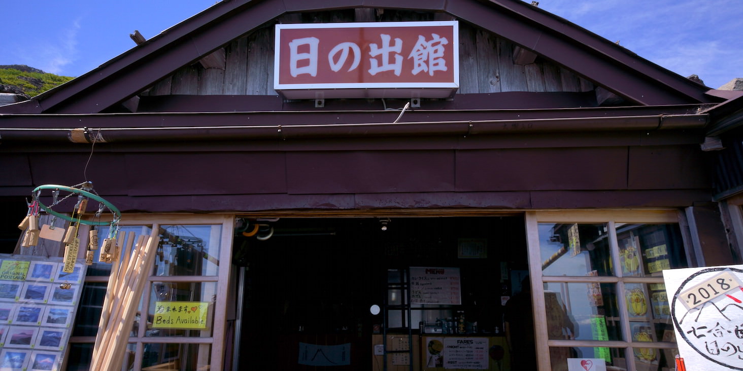
Hinode-kan. Elevation 2720m. Only 20m climbed, but we walked a bit since it was mostly horizontal movement.
From here on, it’s a zigzag pattern of advancing and switchbacks, with similar scenery continuing.
There are mountain huts every few dozen meters, which makes it much easier mentally.
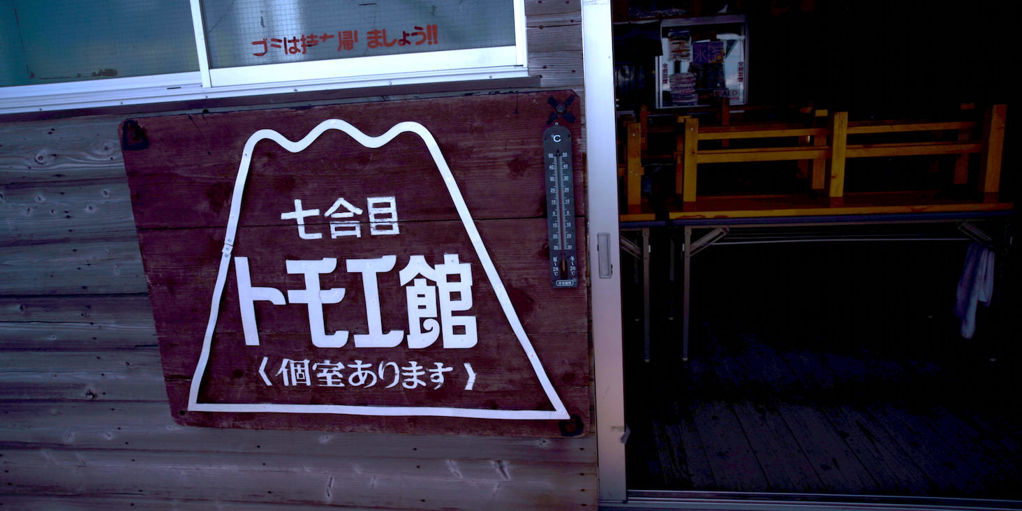
Tomoe-kan. Elevation 2740m.
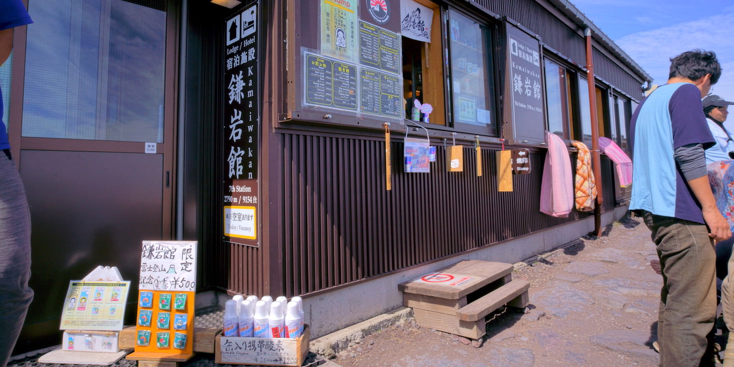
Kamaiwa-kan. Elevation 2790m.
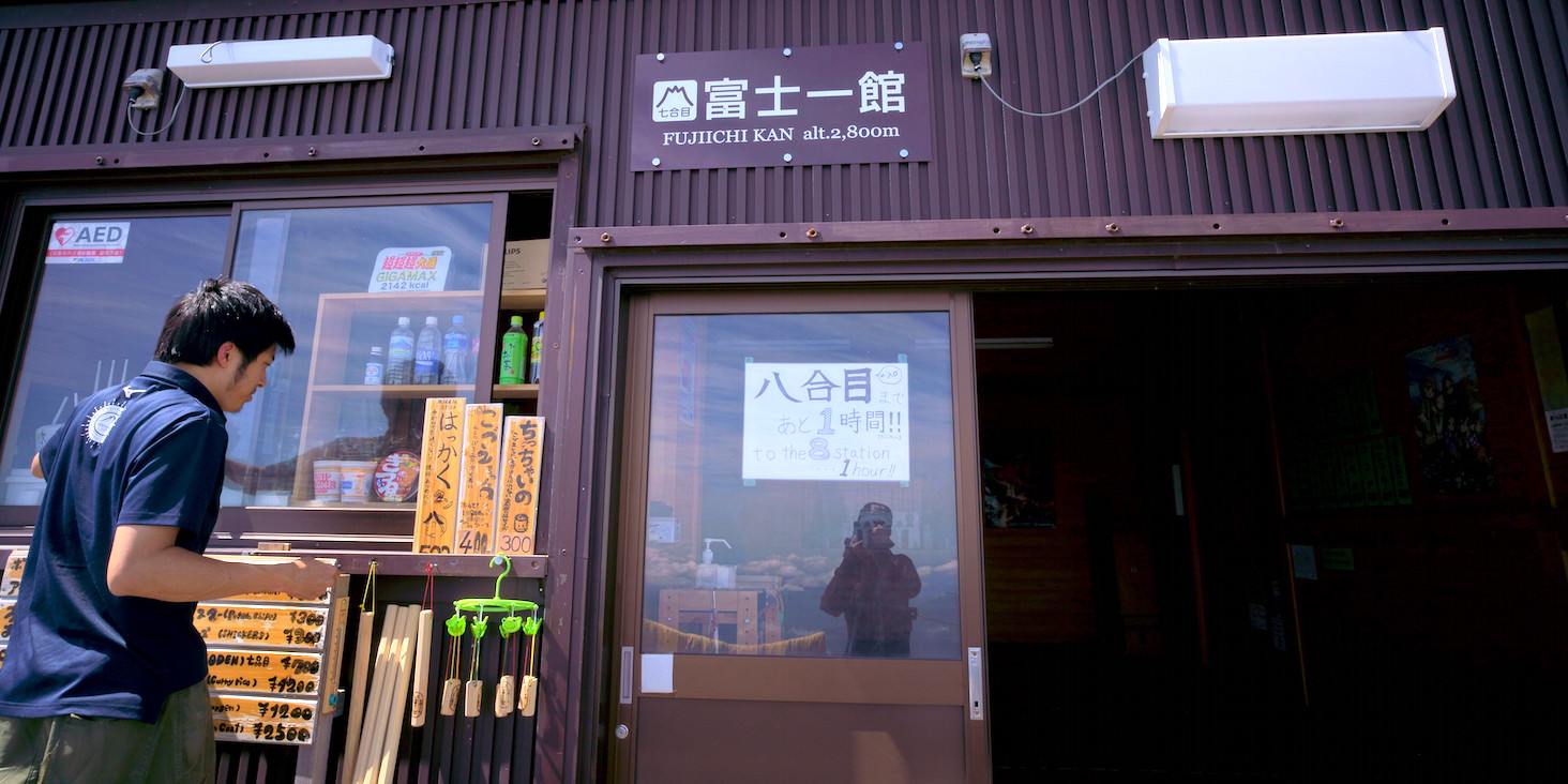
Fujiichi-kan. Elevation 2800m.
Since the elevation and the actual distance walked are different, just looking at numbers can make you misjudge your fatigue pace.
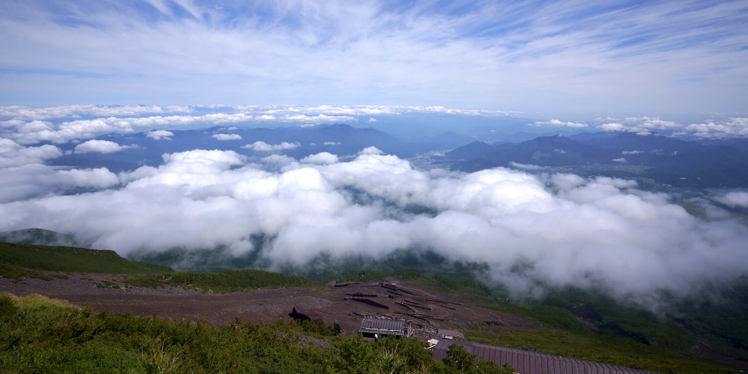
The view at this point. The ground is starting to fade.
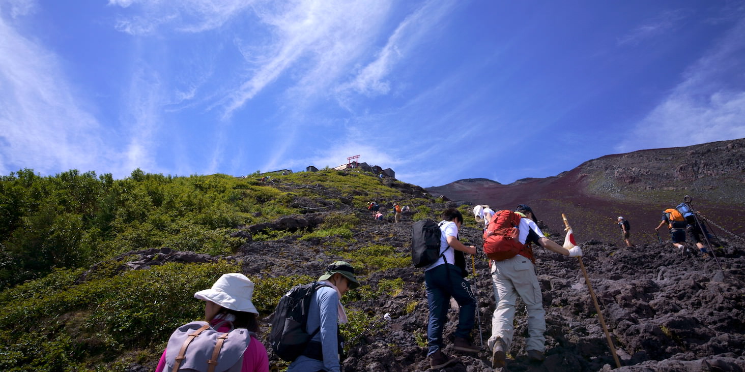
Another rocky area here. The angle is gentle but it’s long.
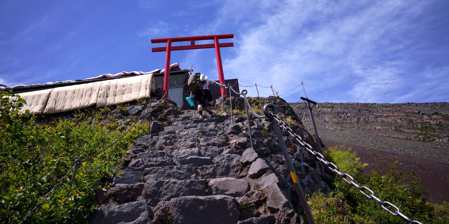
There’s a torii gate when you arrive.
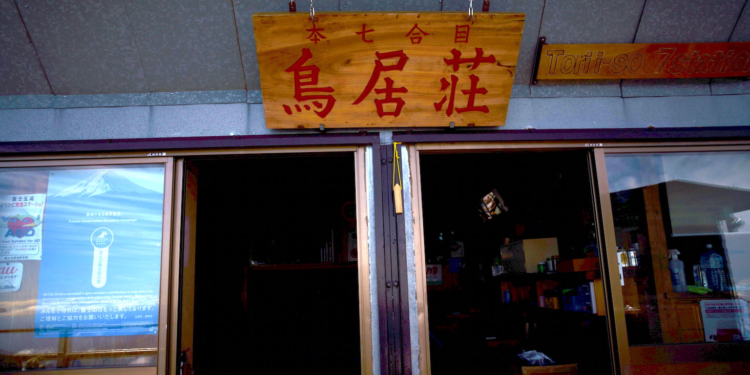
Torii-so. Very straightforward naming. Elevation 2900m.
There was a rocky area along the way, but I was getting bored so no photos.
After climbing the rocky area, the pattern of mountain huts continues.
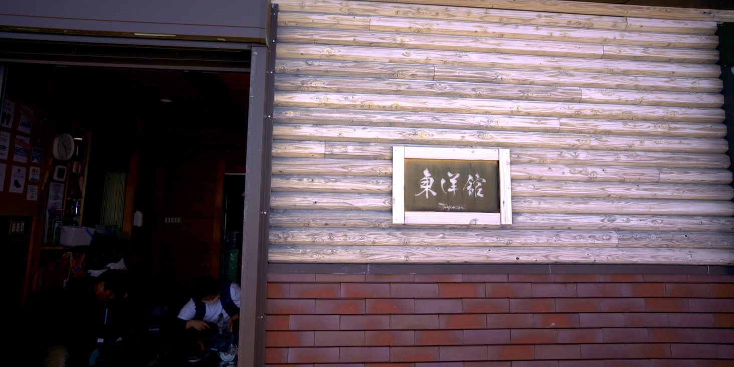
Toyo-kan. Elevation 3000m.
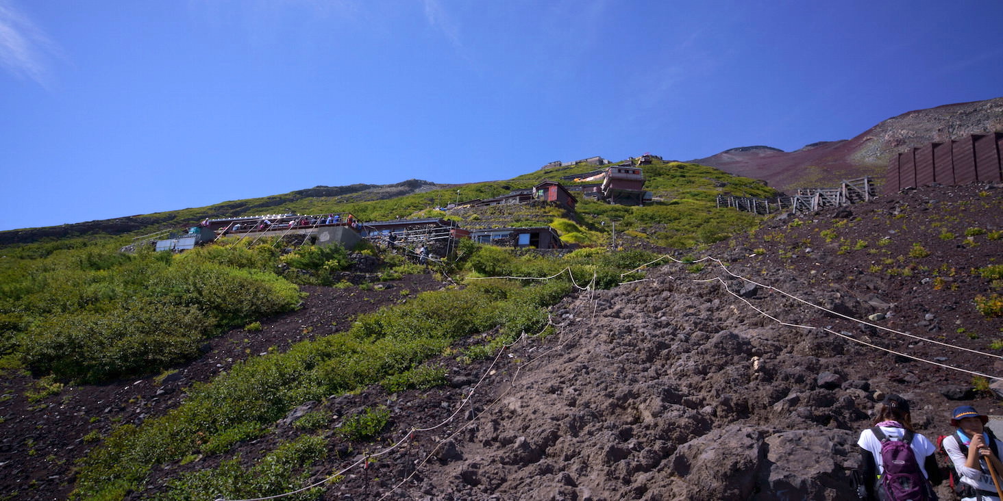
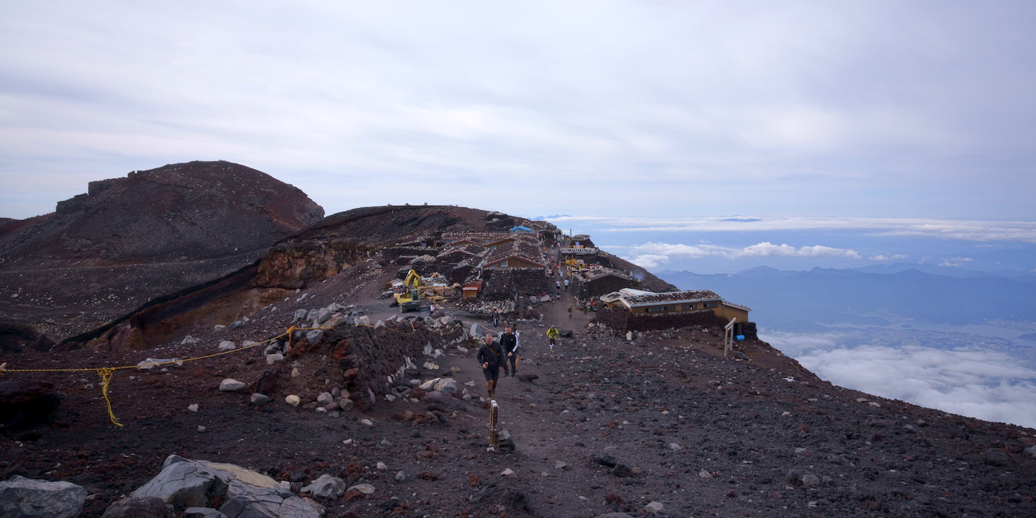
Finally nearing the end of the 7th station.
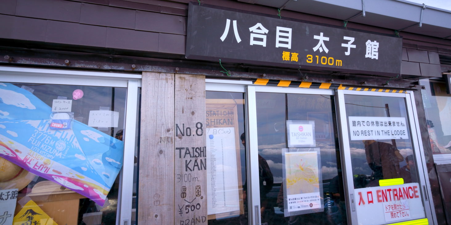
Finally the 8th station.
Taishi-kan. Elevation 3100m.
Symptoms of altitude sickness start appearing around here. My body feels a bit sluggish, and occasionally something like a haze appears in my vision. I need to be especially careful while climbing rocky areas.
Also, the intervals between mountain huts become longer and fatigue starts to set in, so this feels like where the real challenge begins.
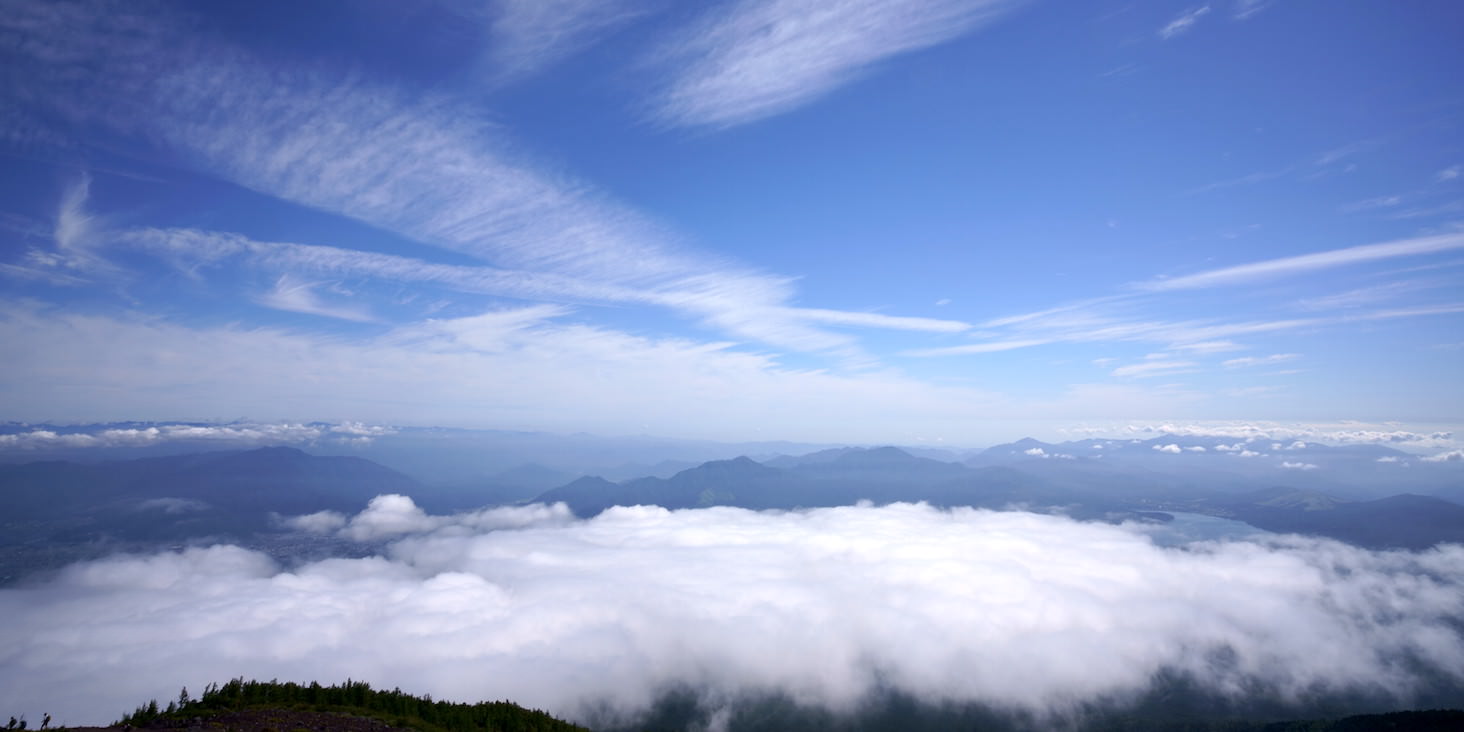
Partly because clouds have rolled in, but the ground finally becomes invisible.
Instead, I can see far into the distance, so in the Kanagawa direction, I can see buildings lined up along the coast.
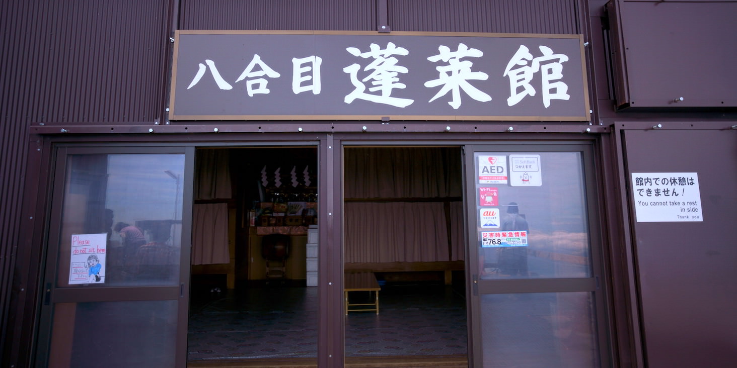
Horai-kan. Elevation 3150m.
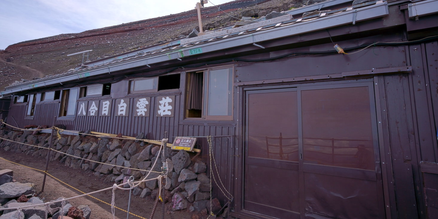
Hakuun-so. Elevation 3200m.
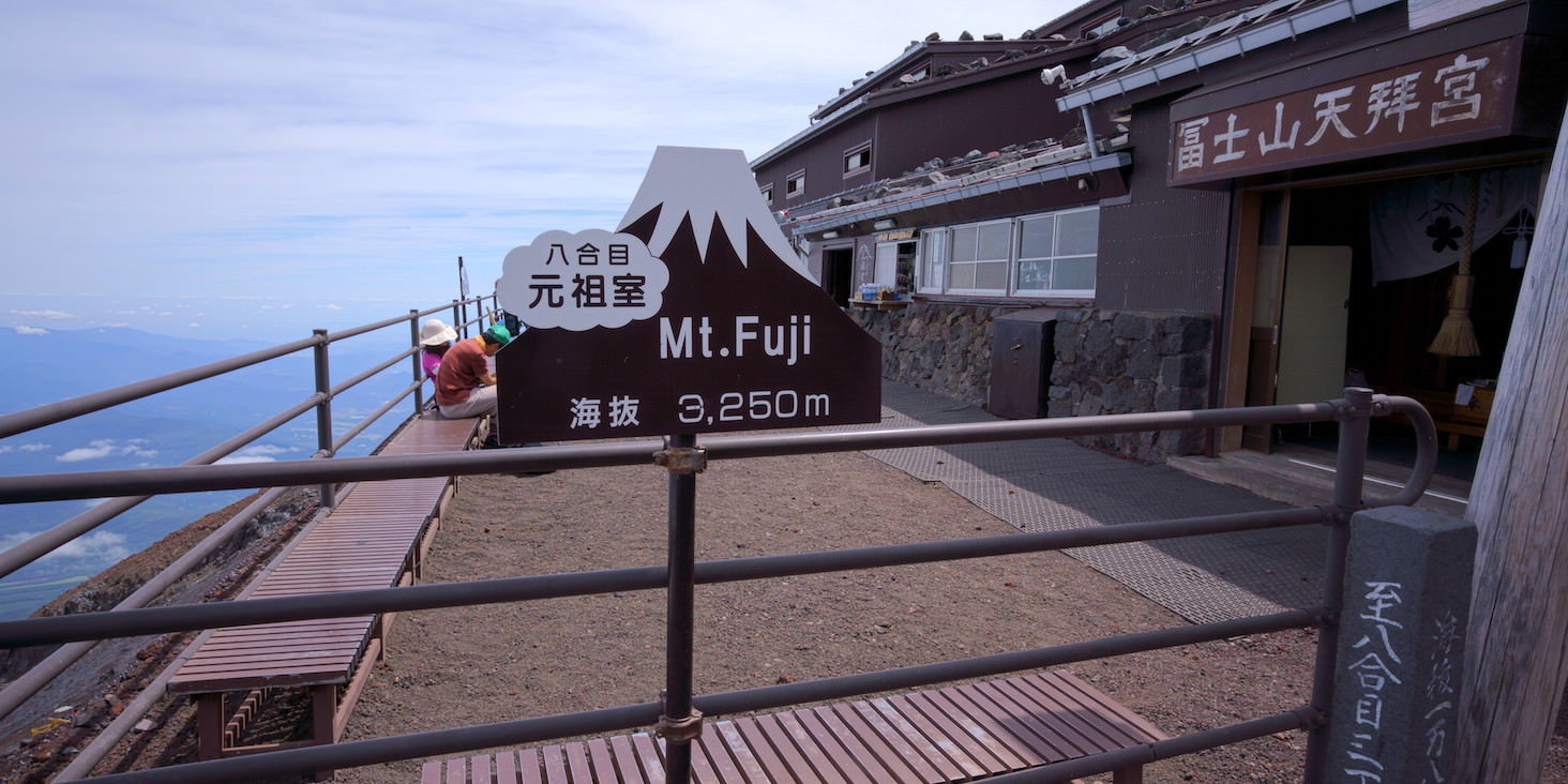
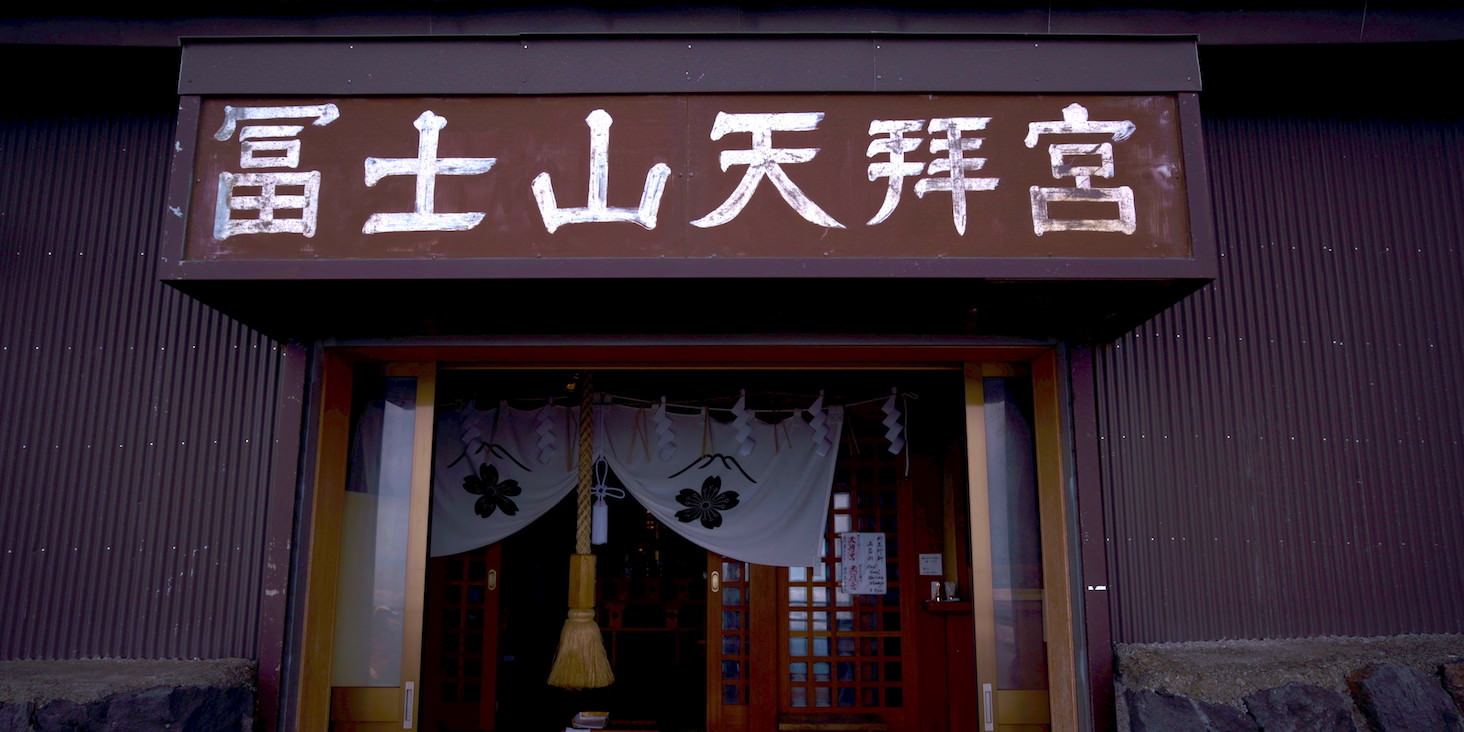
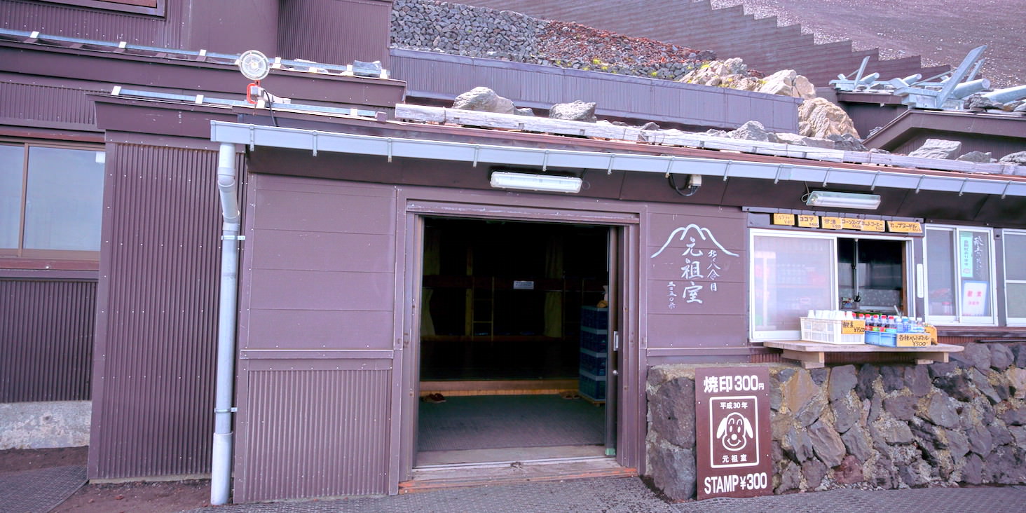
Ganso-muro. Elevation 3250m.
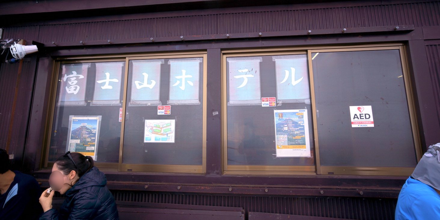
Fuji-san Hotel. Elevation 3400m.
This is the original 8th station. It’s finally getting tough.
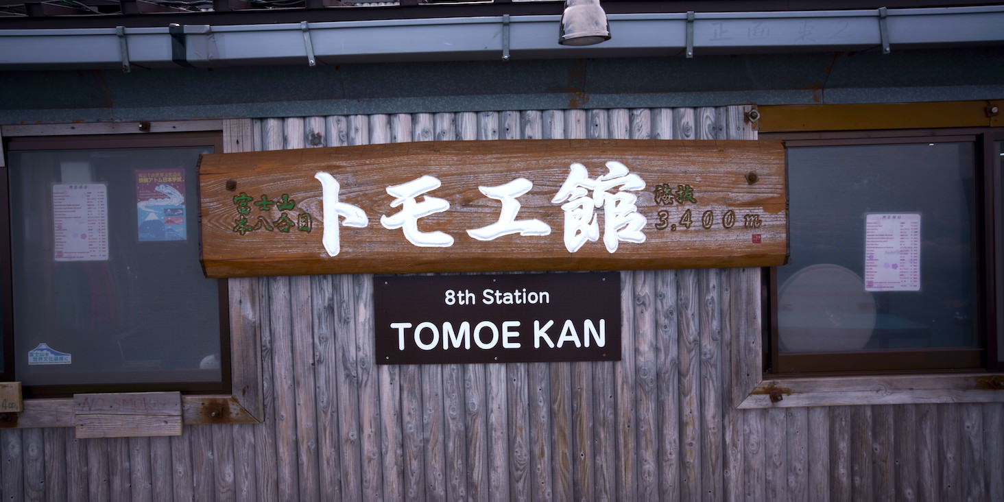
Tomoe-kan (Original 8th station version). Same elevation at 3400m.
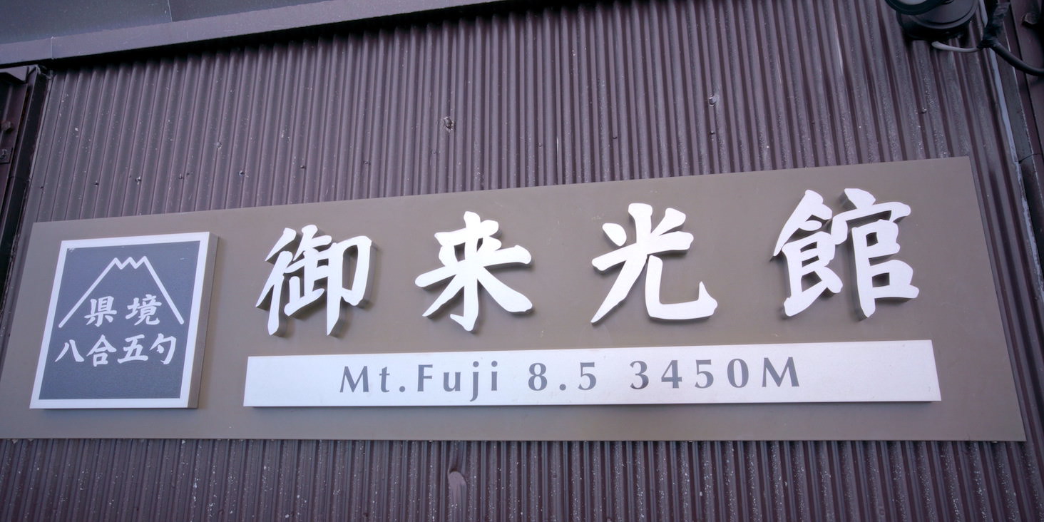
Goraikō-kan. Elevation 3450m.
This is the last mountain hut. The remaining 300m or so is quite tough.
The ground becomes small red stones that are slippery, and there are quite a lot of rocky areas.
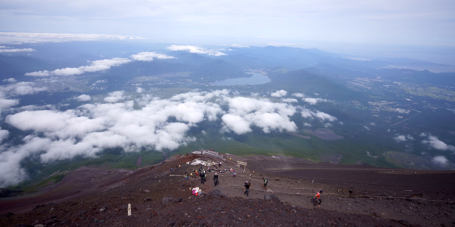
Arrived at the summit. Around 3 PM.
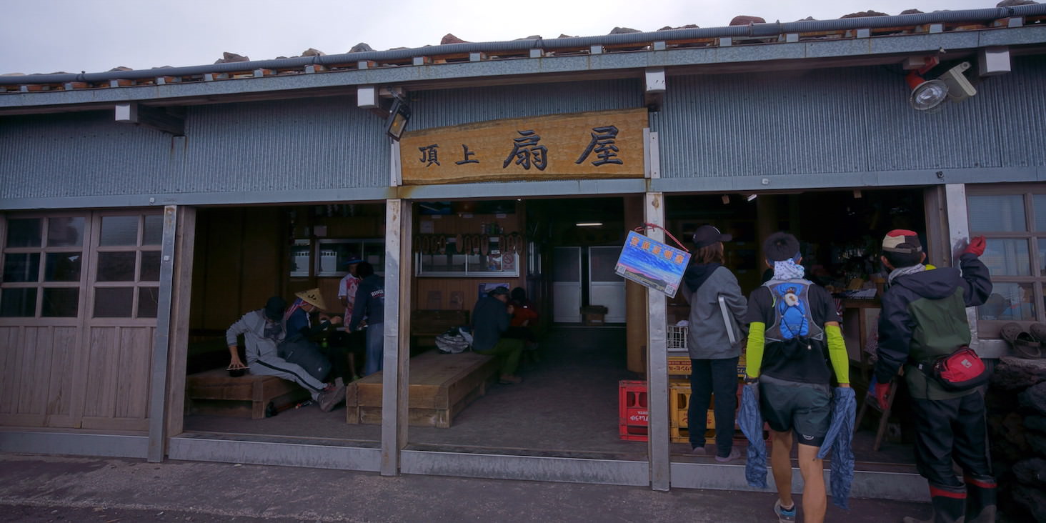
There are shops even at the summit, but apparently they close at 3 PM, and they closed right in front of me.
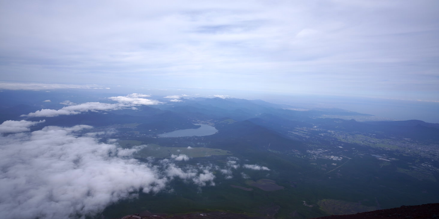
View from the summit. It might have been more beautiful at a brighter time of day.
Now just to descend… or so I thought, but a problem arose.
I hadn’t felt anything wrong while climbing, but only when descending did I realize my shoes didn’t fit properly.
I had rented shoes one size larger, but perhaps they didn’t match my foot shape well - every step sent sharp pain through my toes.
Combined with headaches from altitude sickness requiring rest breaks, the descent took more than double the normal time.
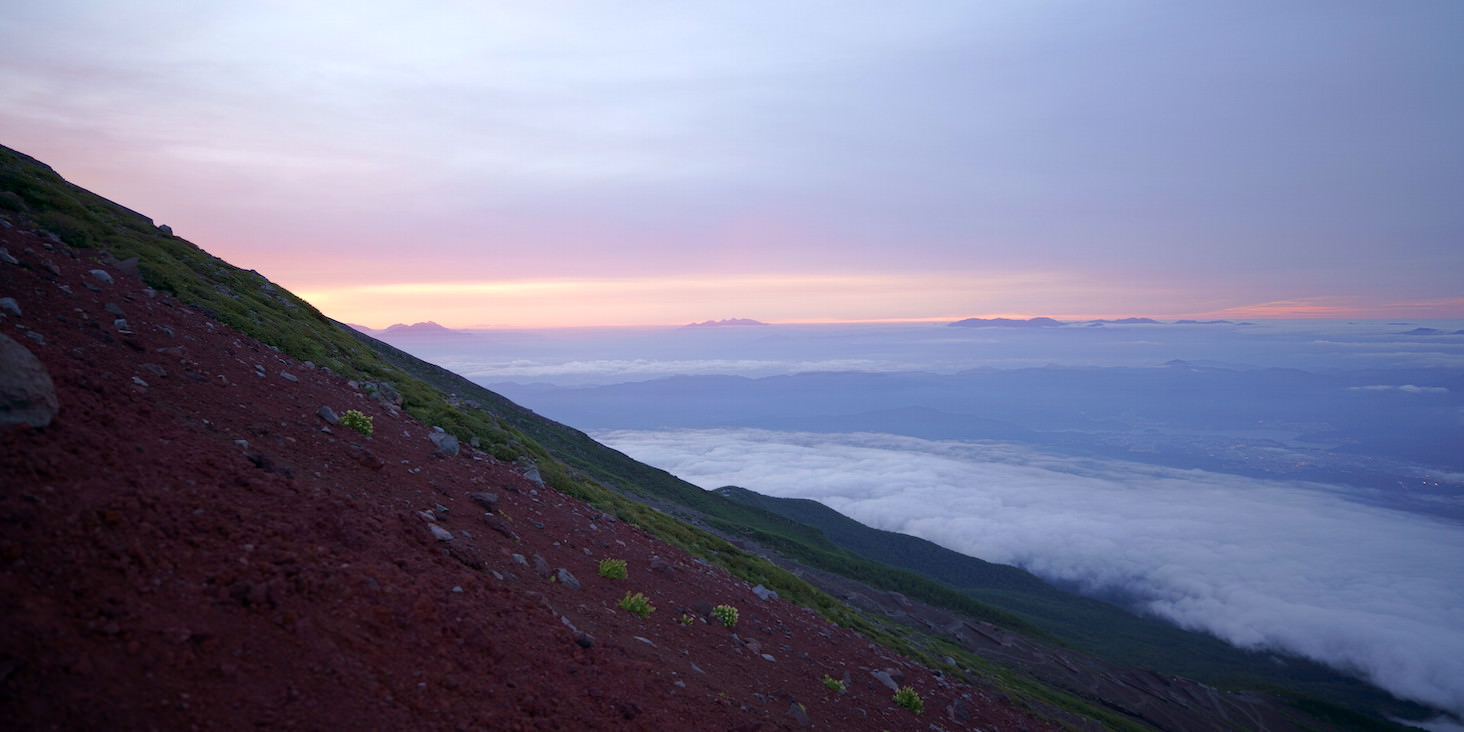
A very beautiful sunset, but the fact that I’m seeing it at this altitude is bad news.
By the time I finally descended to the 5th station, it was completely dark. It was a little past 9 PM, so we took a taxi that the person I climbed with had thoughtfully arranged in advance.
I had a very bright light so I could see my footing properly, and even though the pace was slow, I could keep moving, so I somehow managed to descend. But if the conditions had been slightly worse with temperature or other factors, I think it would have turned into a rescue situation.
Next time, I’ll be more careful about choosing equipment.
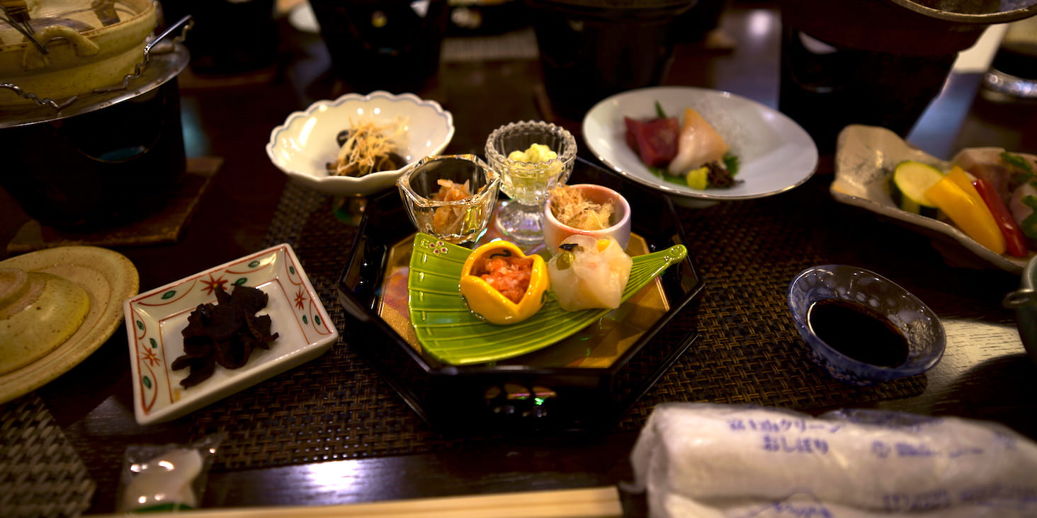
The dinner I ate at the inn on the first day. I couldn’t eat on the second day because the descent was so late, but it was very delicious.